


Farm Inputs
View All
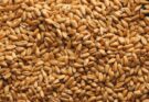
Tropical Agrosystem unveils new product range for 2024 Kharif cropping season
The newly unveiled range comprises a diverse array of insecticides, herbicides, fungicides, and biological products, catering to the evolving needs of the Indian farming community


AgriTech
View All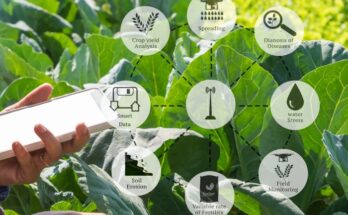
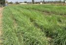
Cropin unveils ‘akṣara’ micro language model for climate-smart agriculture, targeting the Global South
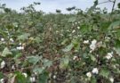
The initial release of Akṣara will focus on nine key crops: paddy, wheat, maize, sorghum, barley, cotton, sugarcane, soybean, and millets, across five countries in the Indian subcontinent


Agribusiness
View All
African Development Bank augments ‘Empowering Novel Agri-Business-Led Employment (ENABLE) Youth Programs
Active in 15 countries with investments exceeding US$490 million, and benefiting around 40,000 youths, the programme has emerged as a transformative force in fostering entrepreneurship


Policy
View All
Centre directs NCCF, NAFED to procure 5 LMT of onion for buffer requirement directly from farmers
For the procurement, NAFED and NCCF are to pre-register the onion farmers to ensure that payments to the farmers are transferred to their bank accounts through direct benefit transfer

Opinion
View All
World Earth Day: Drones Safeguarding Earth for a Sustainable Tomorrow
Emerging as essential partners in advancing conservation and enhancing efficiency, drones play a pivotal role in steering agriculture toward a greener and more sustainable future

Allied Sectors
View All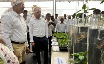
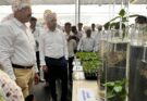
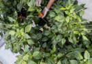
Syngenta launches SapRaise smart seedling solution to enhance horticultural practices
The launch event featured demonstrations of the Syngenta India’s SapRaise system and opportunities for farmers to learn directly from experts in seedling technology


Agri Research
View All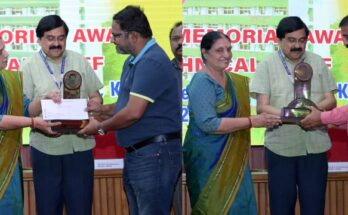
CMFRI presents Nandakumar Rao Memorial Awards for best technical staff
CMFRI Director, Dr A Gopalakrishnan presided over the function. Dr P Vijayagopal, Dr Grinson George, Dr VVR Suresh, Hareesh Nair and KS Sreekumaran were present on the occasion